


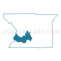
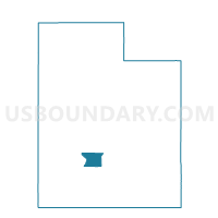
Junction Voting District, Piute County, Utah
About
Outline

Summary
| Unique Area Identifier | 678957 |
| Name | Junction Voting District |
| County | Piute County |
| State | Utah |
| Area (square miles) | 62.26 |
| Land Area (square miles) | 58.78 |
| Water Area (square miles) | 3.48 |
| % of Land Area | 94.41 |
| % of Water Area | 5.59 |
| Latitude of the Internal Point | 38.25027450 |
| Longtitude of the Internal Point | -112.24660900 |
Maps

Graphs
Select a template below for downloading or customizing gragh for Junction Voting District, Piute County, Utah


Neighbors
Neighoring Voting District (by Name) Neighboring Voting District on the Map
- Beaver 3 Unincorporated Voting District, Beaver County, UT
- Circleville Voting District, Piute County, UT
- Greenwich Voting District, Piute County, UT
- Kingston Voting District, Piute County, UT
- Marysvale Voting District, Piute County, UT
Top 10 Neighboring County Subdivision (by Population) Neighboring County Subdivision on the Map
- Beaver CCD, Beaver County, UT (3,951)
- Circleville CCD, Piute County, UT (1,087)
- Marysvale CCD, Piute County, UT (469)